(VOVWORLD) - Storms and tropical depressions are likely to hit the northern region and the northern reaches of the central region during August and September, according to the National Centre for Hydro-Meteorological Forecasting.
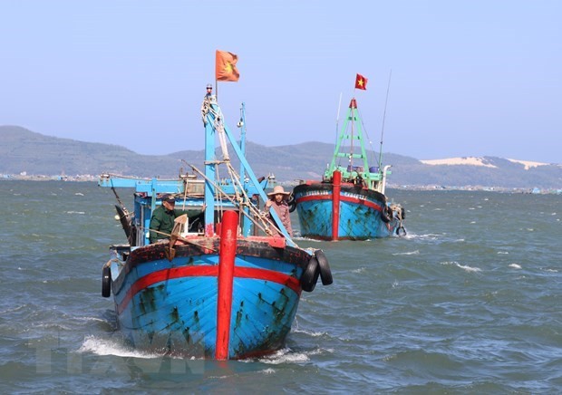
 Vietnamese fishing boats at sea (Photo: VNA) Vietnamese fishing boats at sea (Photo: VNA) |
The centre said such weather conditions are unlikely in the East Sea from now until May but will begin appearing in the north of the waters in June and July and increase in subsequent months.
It also warned about strong storms moving in complex patterns during the upcoming wet season, as well as dangerous weather phenomena like gales, lightning, whirlwinds, and hailstorms nationwide in the seasonal transition period from April to June.
Temperatures nationwide from June to September will be around the average of previous years. Heat in the northern and central regions will not be as intense and prolonged as in 2020.
Total rainfall between April and September will approximate the average, but in May and August - September is likely to be 10-20 percent higher than the average.
The centre noted the wet season may come early to the Central Highlands and south of Vietnam, in the latter half of April or the first half of May. Meanwhile, flash floods and landslides may strike northern mountainous areas sooner than in previous years.
Drought and water shortages are projected for certain areas in the central provinces of Nghe An, Ninh Thuan, and Binh Thuan as well as the Central Highlands in April, which will then expand to all of the central region.
From now until late April, the Mekong Delta is likely to record another three or four saltwater intrusion episodes, then the phenomenon will begin easing in May, said the National Centre for Hydro-Meteorological Forecasting.